

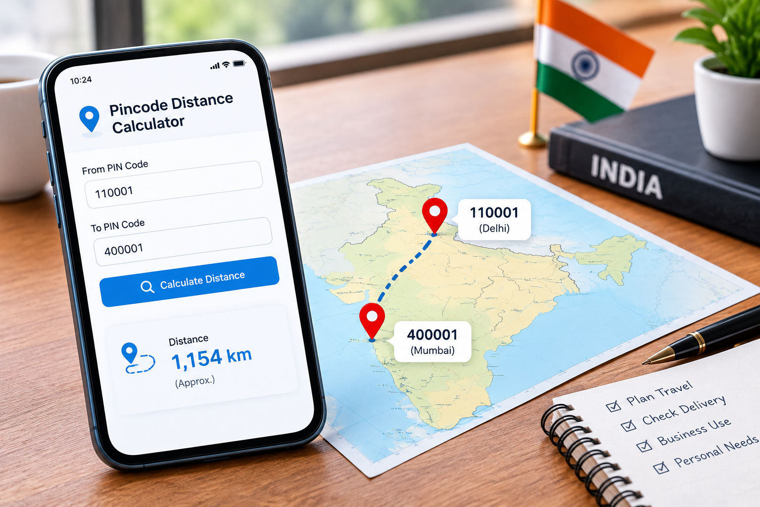
Every shipment, every relocation, and every field sales route in India starts with the same small question: how far apart are these two places, really?
City names are too vague. “Delhi to Mumbai” hides the fact that a warehouse in Narela and a warehouse in Okhla are 40 km apart before the truck even leaves the city. PIN codes are tighter. They point to a specific delivery area, which is why logistics teams, e-commerce sellers and compliance staff work in pincodes rather than city names.
This page gives you a free pincode distance calculator, plus the context most tool pages leave out what the number actually means, where it breaks down, and when you should not rely on it.
Try it: the BusinessMust Pincode Distance Calculator sits at the top of this page. Enter two 6-digit PIN codes and get your result in seconds. [What Is a Pincode Distance Calculator?
A pincode distance calculator is a tool that estimates how far apart two Indian PIN codes are.
You enter a 6-digit origin PIN code and a 6-digit destination PIN code. The tool looks up the geographic coordinates mapped to each code, then applies a distance formula to those two points and returns a result in kilometres.
PIN, pincode, postal code same thing. PIN stands for Postal Index Number, introduced by India Post in 1972. People search for it as “pincode”, “pin code”, “postal code” and “zip code” (the last one is technically American, but it’s used loosely in India). All four refer to the same six digits.
Why PIN-level distance beats city-level distance:
- Precision inside large cities. Mumbai’s PIN codes stretch from 400001 in Fort to 400097 in Malad. Treating them as one point can throw off a delivery estimate by 30 km or more.
- Rural and industrial coverage. Many industrial estates, SEZs and rural clusters have their own PIN code but no well-known city name. Pincode lookup finds them; city search often doesn’t.
- Delivery zone accuracy. Courier serviceability, shipping slabs and last-mile charges are almost always defined by pincode, not by city.
Table of Contents
ToggleStraight-Line Distance vs Road Distance Why It Matters
This is the single most misunderstood thing about pincode distance tools, and it’s where most of them quietly mislead people.
Straight-line distance (the Haversine method)
Straight-line distance is measured as if you could fly directly from point A to point B, ignoring roads, rivers and hills. It’s often called “as the crow flies” or great-circle distance.
The Haversine formula calculates it by treating the Earth as a sphere and measuring the shortest arc across its surface between two sets of coordinates. It’s fast, free to compute, and needs nothing but latitude and longitude.
The catch: a large share of free pincode distance calculators return only this number, and many don’t say so anywhere on the page. A user assumes they’re getting driving distance and plans around a figure that can be 20–30% short.
Road distance
Road distance follows the actual motorable route a vehicle would take. It accounts for highway alignment, river crossings, ghat sections and the fact that roads rarely run in straight lines.
Road distance is almost always longer than straight-line distance. In hilly or coastal terrain, the gap widens sharply.
When each one is good enough
| Use straight-line distance for | Use road distance for |
|---|---|
| Rough shipping zone bands | Fuel cost estimates |
| Radius-based service area planning | Delivery time estimates |
| Quick “is this near or far” checks | Driver route planning |
| Coverage maps and heat maps | Anything tied to GST compliance |
Rule of thumb: if the number will drive a rupee figure, a deadline or a legal filing, you need road distance. If it’s directional planning, straight-line is fine.
How to Use the BusinessMust Pincode Distance Calculator
- Enter the origin pincode. Type the 6-digit PIN code you’re shipping or travelling from. The tool validates it as you type and shows a green check once it matches a real post office record.
- Enter the destination pincode. Same format. If the code doesn’t exist in the India Post directory, you’ll see an error prompt rather than a silent wrong answer.
- Click Calculate.
- Read your result.
Your result includes:
- Distance in kilometres and miles, with straight-line and road distance shown separately where road data is available
- Post office name and district matched to each PIN code, so you can confirm you’ve entered the right area
- Midpoint coordinates, useful for anyone picking a meeting point or a central warehouse location
- Initial bearing, the compass direction from origin to destination
The calculator is built mobile-first. A large share of the people who need this number are standing in a warehouse, sitting in a vehicle or checking on the move it works on a phone screen without pinching and zooming.
Why Pincode-Level Distance Matters (Use Cases by Audience)
E-commerce sellers. Shipping rates are charged in zone slabs, and zones are defined by pincode pairs. Knowing the distance before you list a product tells you whether free shipping is viable on that route. It also helps you decide where to place inventory if 60% of your orders land more than 800 km from your only warehouse, that’s a strategy problem, not a courier problem.
Logistics, courier and fleet operators. Distance drives fuel budgeting, driver hours and per-trip costing. For multi-drop routes, comparing pincode-to-pincode legs helps you sequence stops sensibly instead of zig-zagging across a city.
Businesses generating GST e-way bills. Distance is a mandatory field and it decides how long your e-way bill stays valid. Covered in detail in the next section read it before you rely on any third-party number.
People relocating. Before you sign a lease, it’s worth knowing the real distance between your new PIN code and your office, your children’s school, or your parents’ home. The answer often changes the shortlist.
Travellers. A quick distance check between two postal regions is enough to decide whether a trip is a day drive, an overnight, or a flight.
Field sales teams. Territory planning lives and dies on travel time. Mapping distances between client pincodes shows you how many visits a day is realistic, and which accounts are quietly eating your week.
Students and job seekers. Comparing the distance from a prospective PG or rental to a campus or office is the cheapest research you can do before committing to a deposit.
Local service providers. Home services, tutors, appliance repair and pest control businesses all need a serviceable radius. Pincode distance lets you define that radius honestly instead of accepting jobs you can’t reach on time.
Pincode Distance and GST E-Way Bill Compliance
If you move goods worth more than ₹50,000, Rule 138 of the CGST Rules requires an e-way bill. Part B of that bill captures the vehicle number and the approximate distance of transportation and that distance decides the bill’s validity period.
How validity is calculated
- Regular cargo: 1 day for every 200 km, or part thereof. A 450 km trip gets 3 days.
- Over-dimensional cargo: 1 day for every 20 km, or part thereof. The clock runs far tighter.
Validity starts when the first Part B entry is made, not when you generate Part A.
How the portal gets its number
The e-way bill system calculates the motorable distance between your dispatch PIN code and ship-to PIN code automatically. This is a road-based figure, not a straight-line one.
You can override it with the actual distance for your route but only up to 10% above the auto-calculated figure. If the portal says 500 km, the maximum you can enter is 550 km. You cannot enter less to shorten the journey on paper, and you cannot enter 40% more because your transporter takes a longer branch route.
The honest advice
For the number you actually file, use the e-way bill portal’s own Pin to Pin distance tool. It sits under the Search tab and works without logging in. That figure is the GST-approved one, and it’s the figure an officer’s system will check against.
Use a third-party calculator like this one for planning costing, route comparison, validity forecasting before dispatch not as your compliance source.
Why this matters: an expired or mismatched e-way bill gives an officer grounds under Section 129 of the CGST Act to detain the vehicle and the goods and levy a penalty equal to the tax amount or ₹10,000, whichever is higher. Understating distance to save a day of validity is not a shortcut; it’s an inspection risk.
If your genuine route is far longer than the portal’s figure 30–40% more the answer isn’t to fudge the number. Speak to a GST professional about whether the journey should be split into separate e-way bills by segment.
Accuracy, Limitations & How Coordinates Are Mapped
We’d rather you trust this tool for the right things than over-trust it for the wrong ones.
- One pincode, one coordinate. Each PIN code is mapped to a single central or representative point usually the head post office. Every address inside that pincode shares the same coordinate. Your actual pickup point may sit several kilometres from it.
- Rural pincodes cover a lot of ground. A single rural PIN code can span multiple villages and several branch post offices across a wide area. The wider the area, the softer the estimate.
- Elevation isn’t factored in. Distance is measured at a sea-level equivalent. In hill regions, real travel distance runs longer than either figure shown.
- No traffic, no live conditions. Road distance reflects route length, not current road conditions, diversions or congestion.
- Directory changes lag. India Post occasionally reassigns or adds PIN codes. Newly created codes may take time to appear in any third-party dataset.
Bottom line: this is a planning and estimation tool. It is not survey-grade measurement, and it is not a substitute for the official GST portal figure on compliance filings.
What Is DIGIPIN? India’s New Digital Addressing System
DIGIPIN is India Post’s digital addressing system, developed with IIT Hyderabad and ISRO. Instead of six digits covering a delivery area, DIGIPIN assigns a 10-character alphanumeric code to a grid square of roughly 4 metres by 4 metres.
Why it exists. A 6-digit PIN code identifies a neighbourhood, not a doorstep. That imprecision costs money in failed deliveries, and costs time in emergency response. DIGIPIN encodes a precise location directly into the code itself, so it can be decoded back to coordinates without a lookup table.
What it means for distance calculation. Because a DIGIPIN resolves to a specific point rather than an area, distance between two DIGIPINs can be computed far more precisely than distance between two pincodes. Over time, this could make address-level distance estimation practical for logistics and last-mile planning in a way pincode-level estimation never could.
Where things stand. DIGIPIN is an evolving system and adoption is still building across couriers, e-commerce platforms and government services. PIN codes remain the working standard for shipping, compliance and address formats today. We’re tracking DIGIPIN and will update our tools as adoption grows.
This section reflects the position as of publication. Treat DIGIPIN details as subject to change.
Common Pincode Distance Examples
The gap between straight-line and road distance is easiest to see with real routes. Figures below are approximate and for illustration run the calculator for current values.
Delhi (110001) to Mumbai (400001) Straight-line: ~1,150 km · Road: ~1,400 km The highway route bends through Rajasthan and Gujarat rather than cutting directly southwest, adding roughly 250 km.
Bengaluru (560001) to Chennai (600001) Straight-line: ~290 km · Road: ~350 km A relatively direct corridor, so the gap is modest about 20%.
Mumbai (400001) to Pune (411001) Straight-line: ~120 km · Road: ~150 km The Expressway climbs the Western Ghats, which forces a longer alignment than the map suggests.
Kolkata (700001) to Bhubaneswar (751001) Straight-line: ~365 km · Road: ~440 km River crossings and town bypasses account for most of the difference.
Hyderabad (500001) to Vijayawada (520001) Straight-line: ~230 km · Road: ~275 km Flat terrain and a well-aligned national highway keep the two numbers close.
The pattern: on flat, well-connected corridors, expect road distance to run 15–25% above straight-line. In hills, along coastlines, or where major rivers intervene, the gap can exceed 40%.
Bulk Pincode Distance Calculation (For Businesses)
Checking one pair at a time works for a relocation or a single shipment. It doesn’t work when you’re modelling a delivery network.
Businesses that need distance at scale usually fall into three cases:
- Warehouse network planning. Testing which of five candidate warehouse locations minimises average distance to 3,000 customer pincodes.
- Delivery zone and rate card design. Building shipping slabs across every pincode you serve.
- Route optimisation. Comparing thousands of origin-destination legs to sequence multi-drop routes.
Two approaches handle this:
- Bulk upload. Prepare a CSV or Excel file with origin and destination pincode columns, upload it, and download a file with distances appended. Best for one-off analysis.
- API integration. Call a distance endpoint directly from your order management, WMS or ERP system so distances are calculated at the moment an order is created. Best for ongoing operations.
FAQs
Is pincode distance the same as road distance?
No. Many calculators return straight-line distance only, which ignores roads entirely. Road distance follows the actual motorable route and is usually 15–40% longer. Check which figure a tool is showing you before you rely on it.
How accurate is a pincode distance calculator?
Accurate enough for planning, not for precision work. Each pincode maps to one representative coordinate, so the result measures area-centre to area-centre, not door to door. Expect variance of a few kilometres in cities and more in large rural pincodes.
Can I use this for GST e-way bill distance entry?
Use it for planning, not for filing. The e-way bill portal auto-calculates its own PIN-to-PIN distance, and you can only enter up to 10% above that figure. Always take your filing number from the official portal.
Does pincode distance account for traffic or route conditions?
No. Neither straight-line nor road distance reflects live traffic, diversions, roadworks or weather. Add buffer time separately when estimating delivery windows.
Can I calculate distance between pincodes in different states?
Yes. Any two valid Indian PIN codes work, regardless of state or union territory.
What if a pincode has multiple post offices — which one is used?
The representative coordinate for that pincode, typically the head or main post office, is used for both. Branch offices within the same code share that single reference point.
Is DIGIPIN going to replace PIN codes for distance calculation?
Not in the near term. DIGIPIN is far more precise and is likely to complement pincodes for last-mile and emergency use cases, but PIN codes remain the standard for shipping addresses and GST compliance today.
Is this tool free to use, and is there a usage limit?
The calculator is free for individual lookups with no login required. High-volume users should use the bulk tool or API instead of scripting the web form.
Conclusion Plan Smarter with BusinessMust
Most pincode distance tools hand you a number and leave you to guess what it means. This one shows you straight-line and road distance separately, tells you plainly where the estimate breaks down, and points you to the official portal when compliance is on the line.
That’s deliberate. A distance figure you can’t interpret is worse than no figure at all especially when it’s feeding a shipping quote, a fuel budget or an e-way bill validity window.
Run your calculation using the tool above, and if you’re planning at scale, start with the bulk option rather than one pair at a time.
